Exploring the role of scale in understanding ecosystem services from trees and forests
Overview
Researchers need to choose the analytical “windows” they will use to assess ecosystem services from trees and forests. How big an area will be considered? How much detail is needed? These choices affect how research results can inform policy and management. In this set of projects, we explore the impact of these analytical windows for assessing ecosystem services.
Project Lead: Jackie Hamilton
Collaborators: Heather Brown, Elena Bennett, Murray Humphries
Approach 1
In ecosystem service assessments, trees in forests are often acknowledged for their carbon storage capabilities, while their role as sources of shade receives less attention. Interestingly, this emphasis flips in urban landscapes. The spatial extent and classifications of land use play pivotal roles in shaping the variety of ecosystem services considered in these assessments. In this first sub-project, we review these roles by posing a fundamental question: What connections exist between ecosystem service evaluations tied to trees and the scales at which they're conducted? We expect answering this question will bring to light some theoretical implications of methodological choices in ecosystem services literature. Ultimately, we hope these results will invoke dialogue about the comprehensiveness of ecosystem services assessments and provide guidance for researchers and practitioners engaging with ecosystem services.
Approach 2
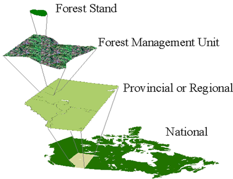
In the second sub-project, we examine a related question: To what extent is it possible to develop national estimates of forest ecosystem services by using local information on those services? We focus on a sample of five ecosystem services derived from forest ecosystems in Canada, examining the methods that can be used to extend local or site-level information about those services up to regional and national estimates. As spatial extent expands, management concerns change, along with a need for different indicators, different estimation procedures, and different datasets. For example, forests can regulate water flows and reduce downstream risks to people and property, yet different indicators are needed for a single watershed or for a national summary.


